

Overview - Alternatives & Competitors
Satellite and aerial imagery revealing Earth's transformation
Overview uses satellite and aerial imagery to showcase how human activity and natural forces shape our planet, offering a powerful perspective on civilization and the environment.

Ranked by Relevance
-
1
 Zoom Earth Interactive Global Weather Mapping in Real Time
Zoom Earth offers near real-time weather visualization with interactive maps and satellite imagery, enabling users to track storms, wildfires, and weather conditions globally.
- Free
-
2
 Planet AI-Powered Earth Intelligence for Global Monitoring and Decision Making
Planet provides AI-powered Earth observation and intelligence solutions through satellite constellations, offering daily global monitoring, high-resolution tasking, and analytics for industries like agriculture, defense, and sustainability.
- Freemium
- From 28$
-
3
 Earth Zoom Out AI Transform any image into stunning cosmic perspective videos with AI-powered Earth zoom-out effects
Earth Zoom Out AI is an advanced video generation tool that uses artificial intelligence to create seamless zoom-out sequences from any uploaded image to a cosmic Earth perspective, combining geographic accuracy with cinematic quality.
- Freemium
-
4
 Spectator Live Satellite Monitoring and Centralized Data Access
Spectator is an AI-powered platform that provides seamless access to Earth observation satellite data from programs like Copernicus Sentinels and USGS/NASA Landsat, offering daily fresh satellite images, high-resolution commercial imagery, and flexible tools for tracking satellite passes and scheduling imaging.
- Freemium
-
5
 AI Earth Zoom Out Create Viral Videos with AI-Powered Earth Zoom Effects
AI Earth Zoom Out transforms images into cinematic videos using advanced AI technology, offering earth zoom out and zoom in effects for content creators. This platform provides fast, secure video generation with multiple pricing tiers for different needs.
- Freemium
- From 3$
-
6
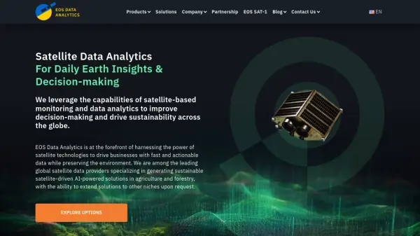 EOS Data Analytics Satellite Data Analytics For Daily Earth Insights & Decision-making
EOS Data Analytics is a leading provider of satellite-based monitoring and AI-powered analytics solutions, specializing in agriculture and forestry sectors to drive sustainable business decisions through actionable satellite data.
- Contact for Pricing
-
7
 OnGeo Intelligence Empower your decisions with Satellite Imagery and Location Intelligence
OnGeo Intelligence provides AI-enhanced satellite imagery reports with global coverage, delivering clear PDF insights and data packages for various professional applications without requiring technical skills or subscriptions.
- Pay Once
-
8
 Downlink Real-time satellite imagery on your desktop
Downlink is a desktop application that automatically updates your background with fresh satellite images of Earth every 20 minutes or hour, offering various views including custom zoom options.
- Other
-
9
 EOfactory Actionable geo-intelligence to ensure sustainability
EOfactory provides actionable geo-intelligence solutions using AI and ML for various industries, focusing on sustainability and science-based decisions. Access satellite imagery, process data, and visualize insights through custom dashboards.
- Free Trial
-
10
 Heavens-Above Track satellites and explore the night sky with precision
Heavens-Above provides detailed satellite tracking, astronomical data, and interactive sky charts for observing celestial objects from your location.
- Free
Didn't find tool you were looking for?